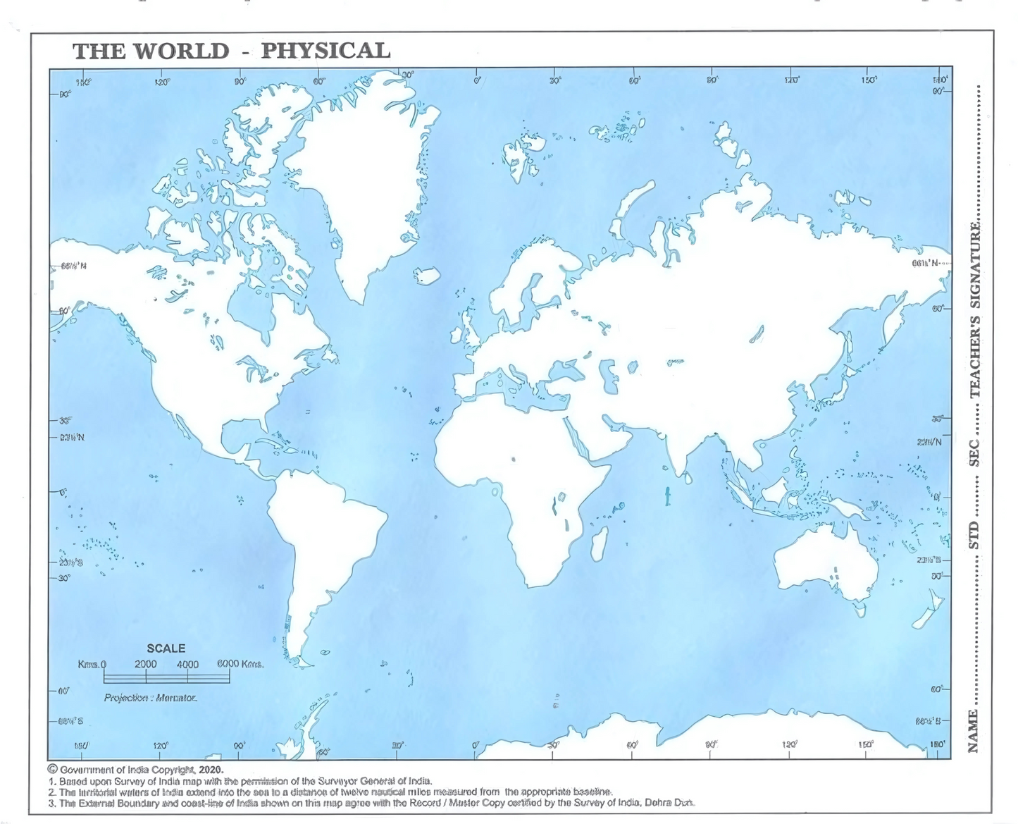
This set of 100 outline maps contains 25 political and physical maps for India and 25 political and physical maps for the World. All of these maps are conveniently packaged in a handy 24 x 18 cms format. Each map is designed to help with both geographic and political learning. It has a clean outline and plenty of space for markings, coloring and practice. These maps, printed on high-quality papers, are perfect for classroom exercises, school assignments and exam preparation. This all-in one set includes everything from mountains and rivers to countries, capitals, and more. It is the perfect resource for teachers, students, and institutions. Improve your map-reading skills by learning to label and read maps.